Arunachal Pradesh on India Map
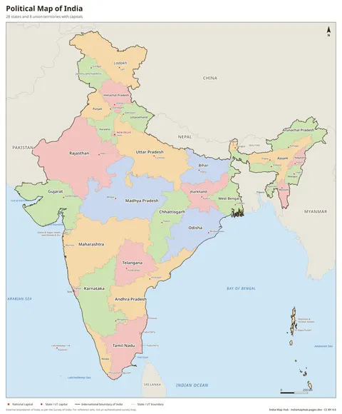
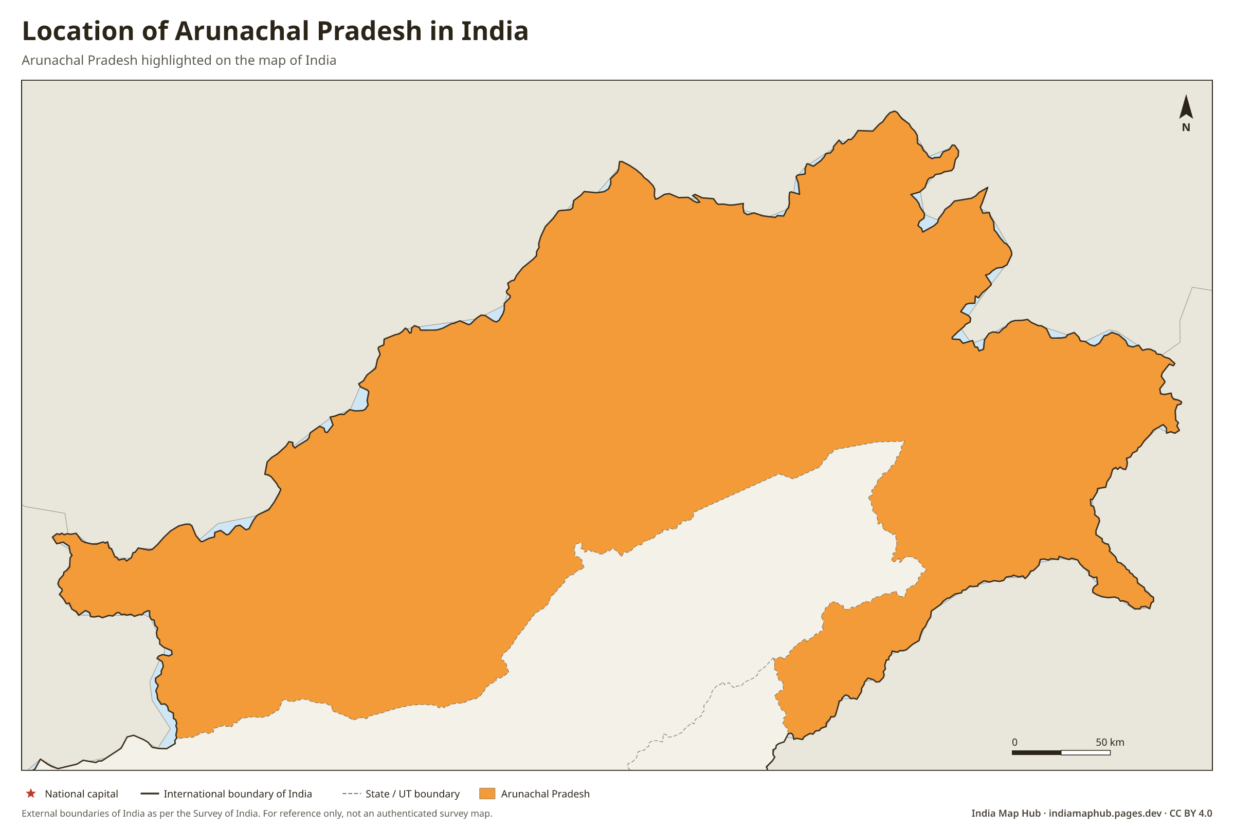
Location map showing where Arunachal Pradesh is in India, highlighted on the official map of India with all states and UTs. Free to download and use.
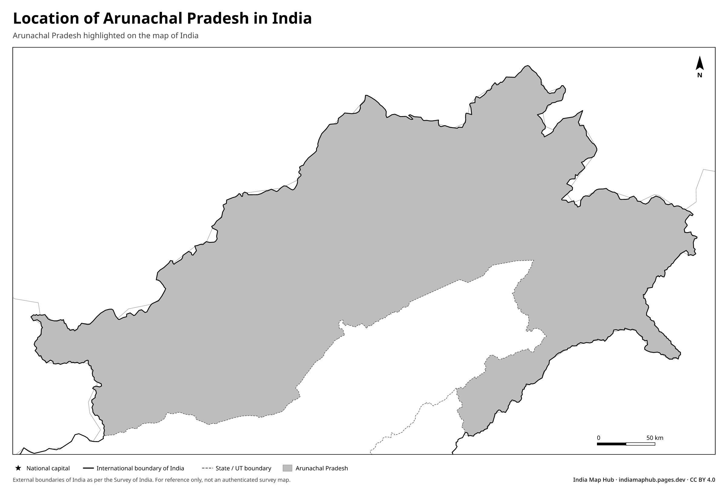 Black & white
About this map
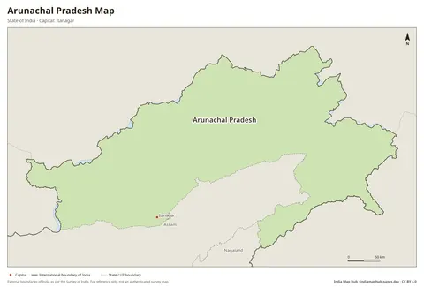
This map shows where Arunachal Pradesh is located in India. Arunachal Pradesh is highlighted on the official map of India, with all states and union territories outlined.
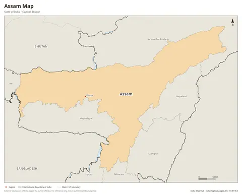
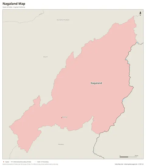
The capital of Arunachal Pradesh is Itanagar. Arunachal Pradesh shares its borders with Assam and Nagaland. It also has an international border with Bhutan, China and Myanmar.
All maps on this site use India's official boundary as published by the Survey of India. You can use this map for free in projects, presentations and print with a credit line.
Key facts
- Type
- State
- Capital
- Itanagar
- Region
- North-East
- Neighbouring states/UTs
- Assam, Nagaland
- International borders
- Bhutan, China, Myanmar
How to use this map
- PNG: paste into Word, Google Docs, PowerPoint or Canva. Use the Print size for posters.
- PDF: print on A4 (or scale up to A3). It's a vector file, so it stays sharp.
- SVG: open in Illustrator, Inkscape, Figma or CorelDRAW to change colours, fonts or labels.
Boundaries on this map follow India's official boundary as published by the Survey of India. Read why this matters.
Credit line (copy & paste)
Required when you use this map. Keep it below the map, in your credits or in your references.
Embed on your website or blog
Frequently asked questions
What is the capital of Arunachal Pradesh?
The capital of Arunachal Pradesh is Itanagar.
Which states border Arunachal Pradesh?
Arunachal Pradesh shares borders with Assam and Nagaland.
Is Arunachal Pradesh a state or a union territory?
Arunachal Pradesh is a state of India.
Does Arunachal Pradesh share an international border?
Yes, Arunachal Pradesh borders Bhutan, China and Myanmar.