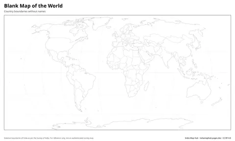
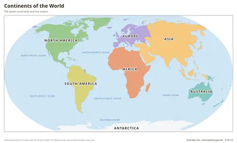
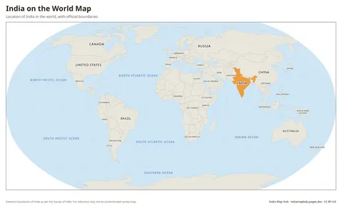
World Political Map
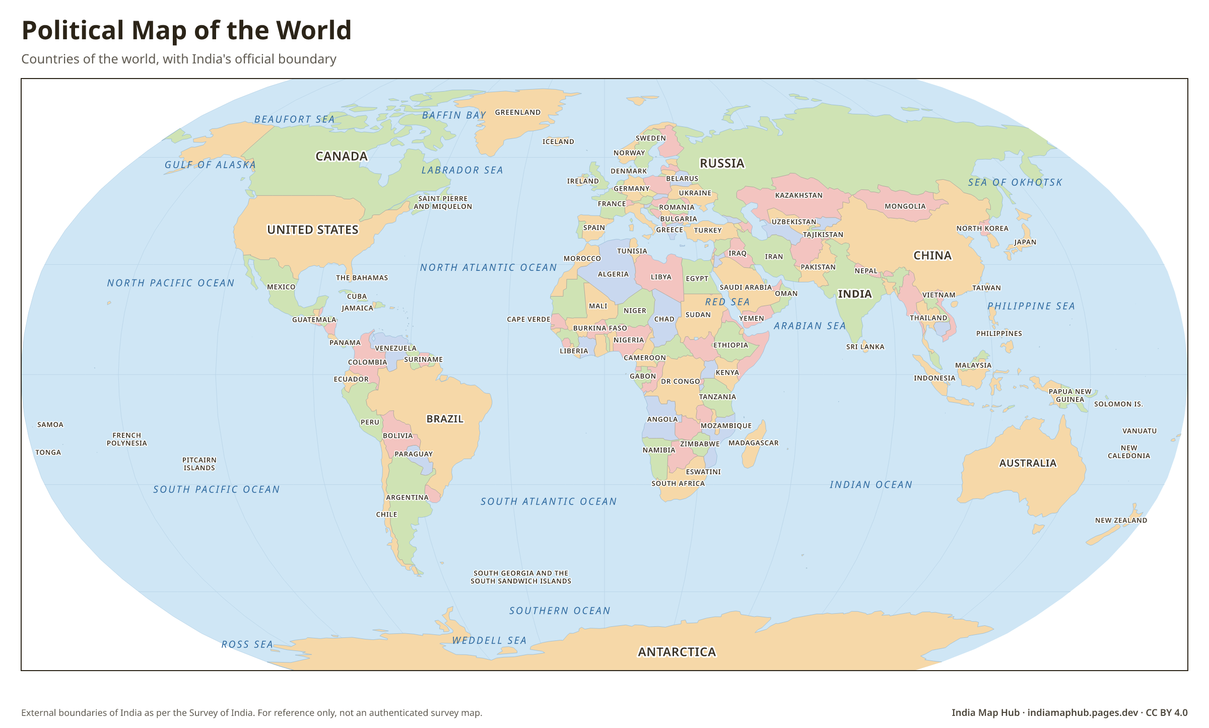
High-resolution political map of the world with country names, drawn with India's official boundary (J&K, Ladakh, Arunachal). Free PNG, PDF and SVG download.
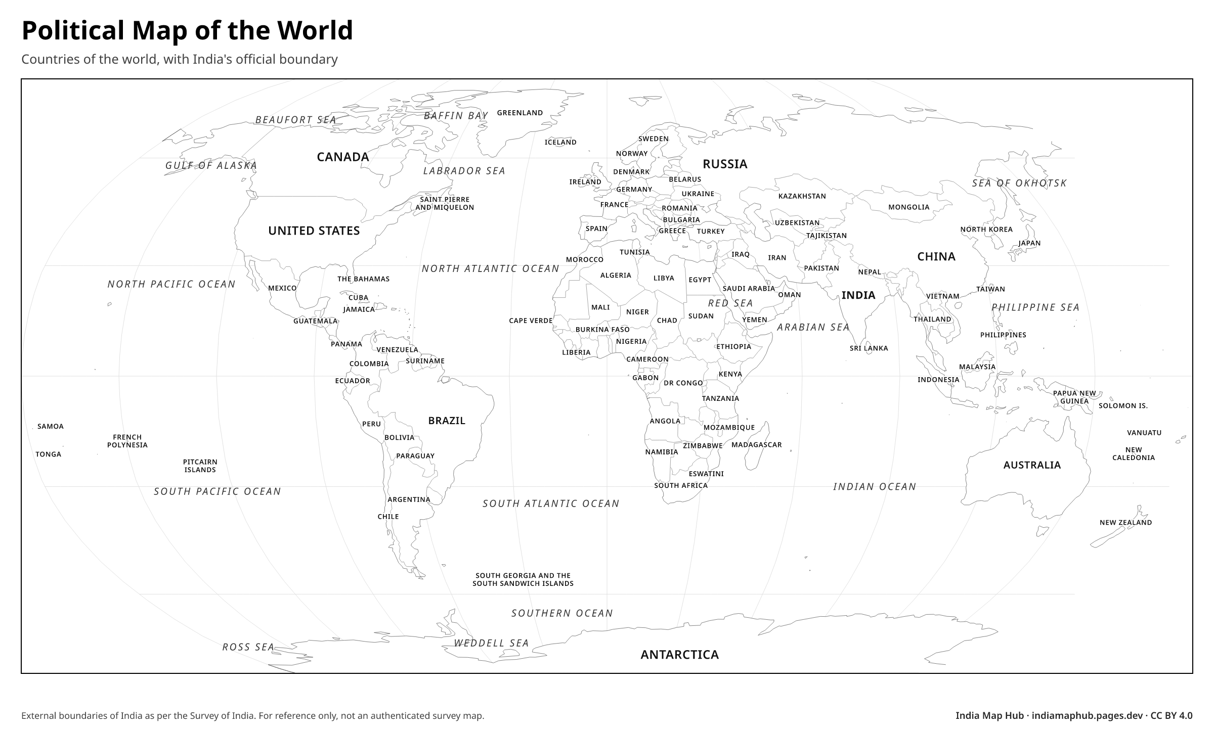 Black & white
About this map
This political map of the world shows countries in contrasting colours with their names. Unlike most world maps available online, India is drawn here with its official boundary, so it is suitable for use in Indian schools, offices and publications.
The map uses the Robinson projection, a compromise projection used widely in atlases because it keeps both the shapes and sizes of continents looking natural.
How to use this map
- PNG: paste into Word, Google Docs, PowerPoint or Canva. Use the Print size for posters.
- PDF: print on A4 (or scale up to A3). It's a vector file, so it stays sharp.
- SVG: open in Illustrator, Inkscape, Figma or CorelDRAW to change colours, fonts or labels.
Boundaries on this map follow India's official boundary as published by the Survey of India. Read why this matters.
Credit line (copy & paste)
Required when you use this map. Keep it below the map, in your credits or in your references.
Embed on your website or blog
Frequently asked questions
How many countries are there in the world?
There are 195 countries generally recognised: 193 United Nations member states plus 2 observer states (the Holy See and Palestine).
Why does India look different on this world map compared with Google Maps?
Global map providers often show disputed areas with dotted lines or as part of other countries. This map follows India's official boundary for the whole of Jammu & Kashmir, Ladakh and Arunachal Pradesh.