India Political Map
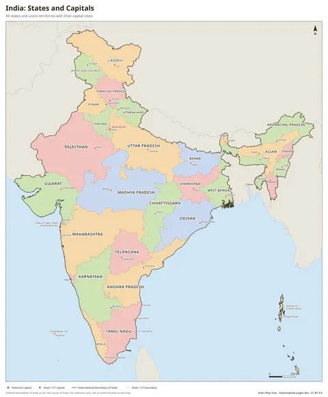
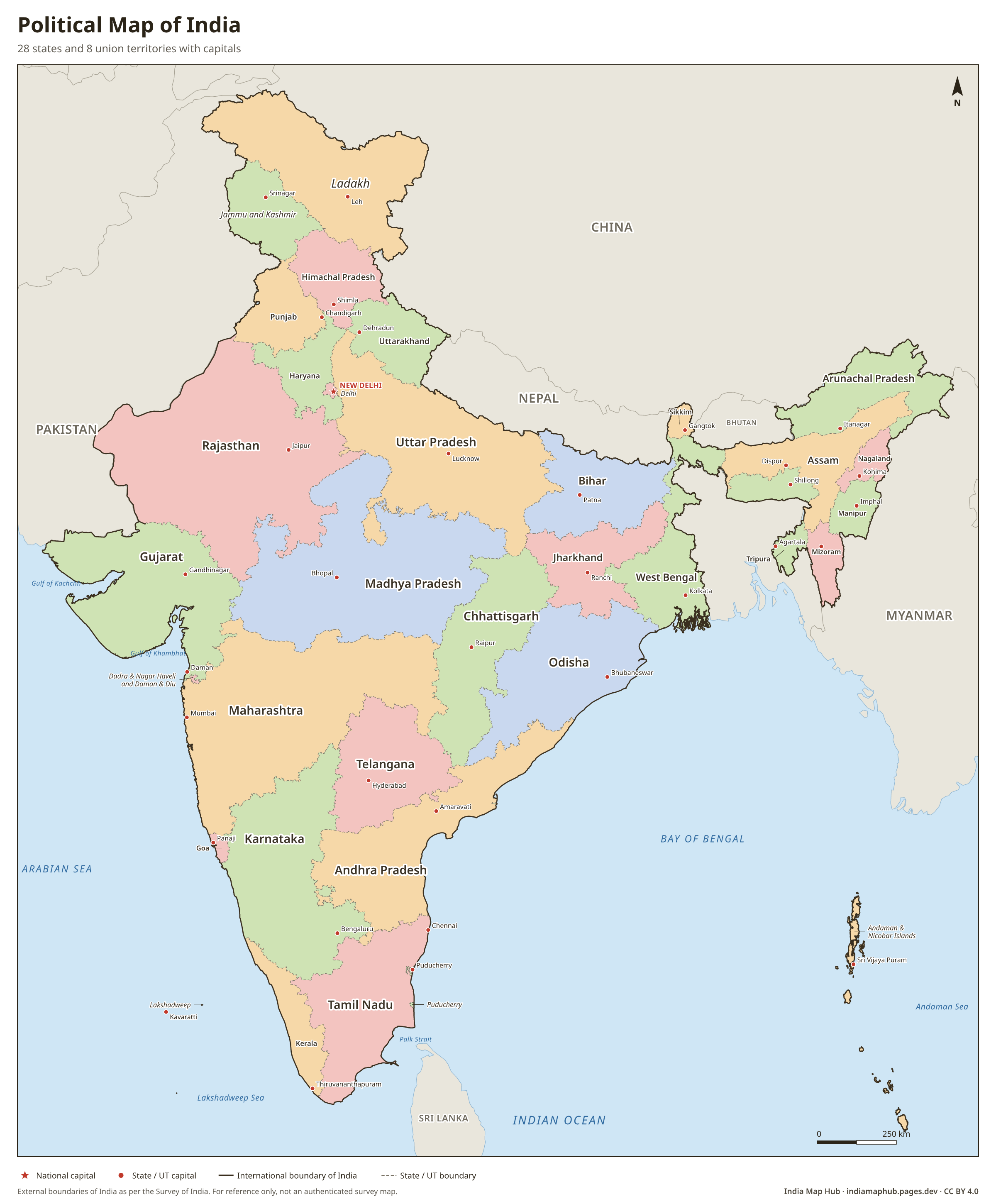
Free high-resolution political map of India with all 28 states, 8 union territories and their capitals. Official boundaries as per Survey of India. Download PNG, PDF or SVG.
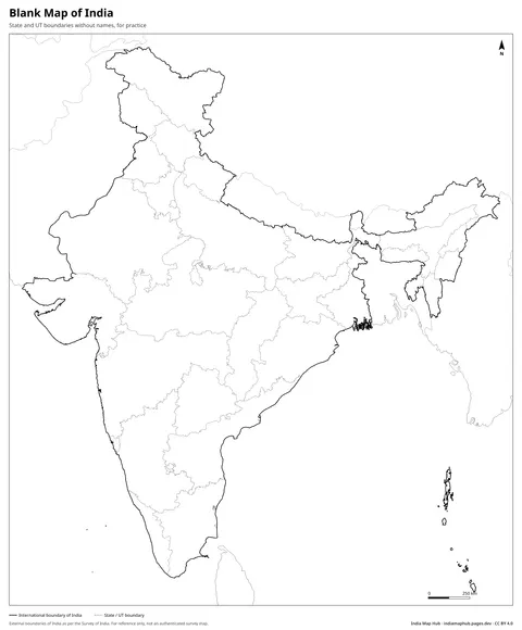
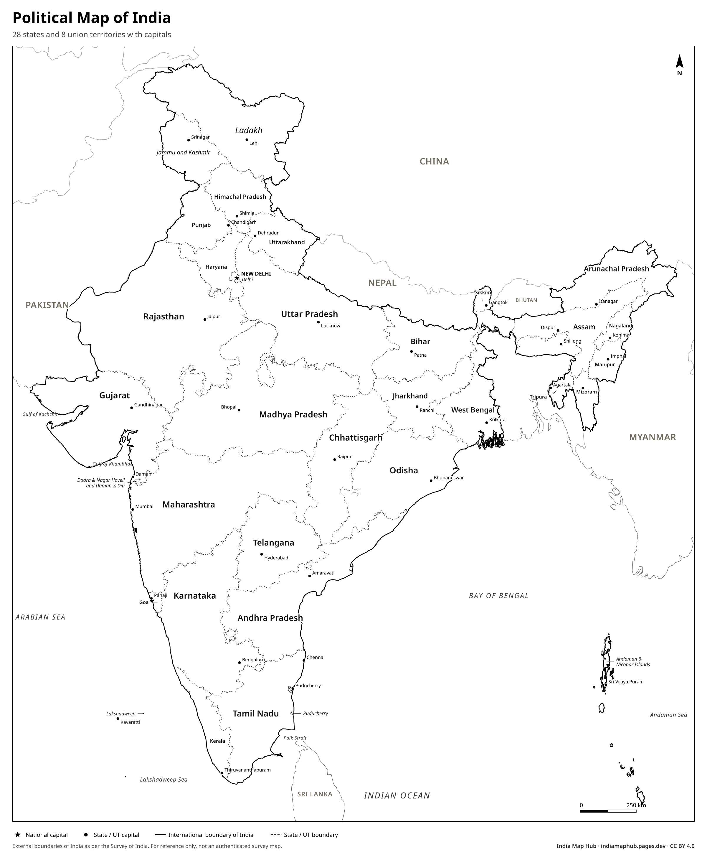 Black & white
About this map
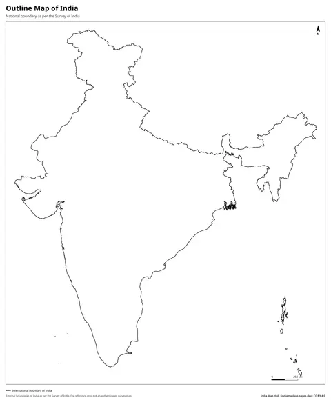
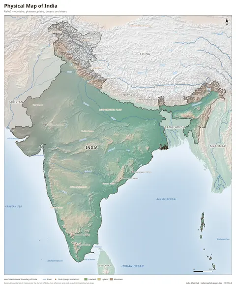
This political map of India shows all 28 states and 8 union territories, their capitals, the national capital New Delhi, and India's neighbouring countries and seas. The external boundary follows the official map published by the Survey of India. The whole of Jammu and Kashmir and Ladakh, including the areas under Pakistani and Chinese occupation, and the whole of Arunachal Pradesh are shown as part of India.
India covers about 32,87,263 sq km, which makes it the seventh-largest country in the world. It stretches from about 8°4'N to 37°6'N in latitude and from 68°7'E to 97°25'E in longitude. Rajasthan is the largest state by area and Goa the smallest. Among the union territories, Ladakh is the largest and Lakshadweep the smallest.
The map is free to use in school projects, presentations, reports, websites and print, as long as you give credit (CC BY 4.0). Use the colour version for display and the black & white version for printing or colouring.
Key facts
- States
- 28
- Union territories
- 8
- National capital
- New Delhi
- Area
- 32,87,263 sq km
- Largest state
- Rajasthan
- Smallest state
- Goa
- Land neighbours
- Pakistan, Afghanistan, China, Nepal, Bhutan, Bangladesh, Myanmar
How to use this map
- PNG: paste into Word, Google Docs, PowerPoint or Canva. Use the Print size for posters.
- PDF: print on A4 (or scale up to A3). It's a vector file, so it stays sharp.
- SVG: open in Illustrator, Inkscape, Figma or CorelDRAW to change colours, fonts or labels.
Boundaries on this map follow India's official boundary as published by the Survey of India. Read why this matters.
Credit line (copy & paste)
Required when you use this map. Keep it below the map, in your credits or in your references.
Embed on your website or blog
Frequently asked questions
How many states and union territories are there in India?
India has 28 states and 8 union territories. The union territories are Andaman and Nicobar Islands, Chandigarh, Dadra and Nagar Haveli and Daman and Diu, Delhi, Jammu and Kashmir, Ladakh, Lakshadweep and Puducherry.
Does this map show the correct boundary of India?
Yes. The external boundary follows the Survey of India. It includes all of Jammu and Kashmir (including PoK) and Ladakh (including Gilgit-Baltistan and Aksai Chin), and the whole of Arunachal Pradesh. Many international maps leave these areas out.
Can I use this map in my book, website or business presentation?
Yes. The map is published under the Creative Commons Attribution 4.0 licence. You may use, print and change it for any purpose, including commercial use, as long as you credit this website.
Which format should I download?
Use PNG for documents and slides, PDF for printing at A4 or larger, and SVG if you want to edit colours or labels in software like Illustrator, Inkscape, Figma or CorelDRAW.