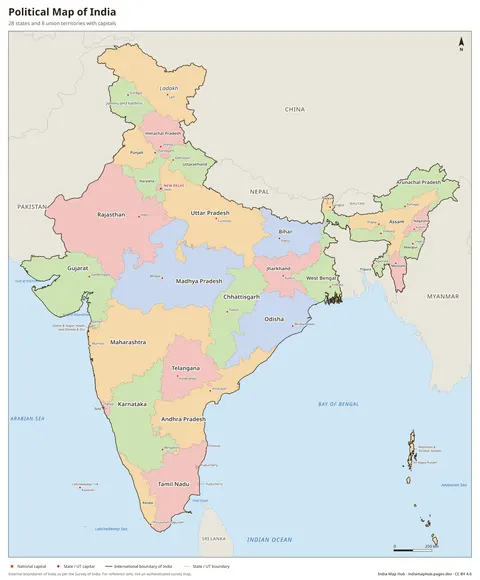
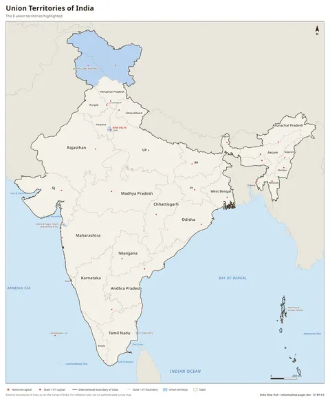
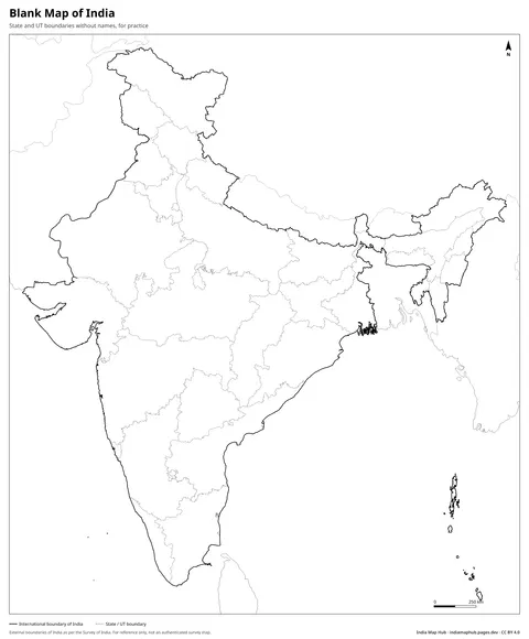
India Map with States and Capitals
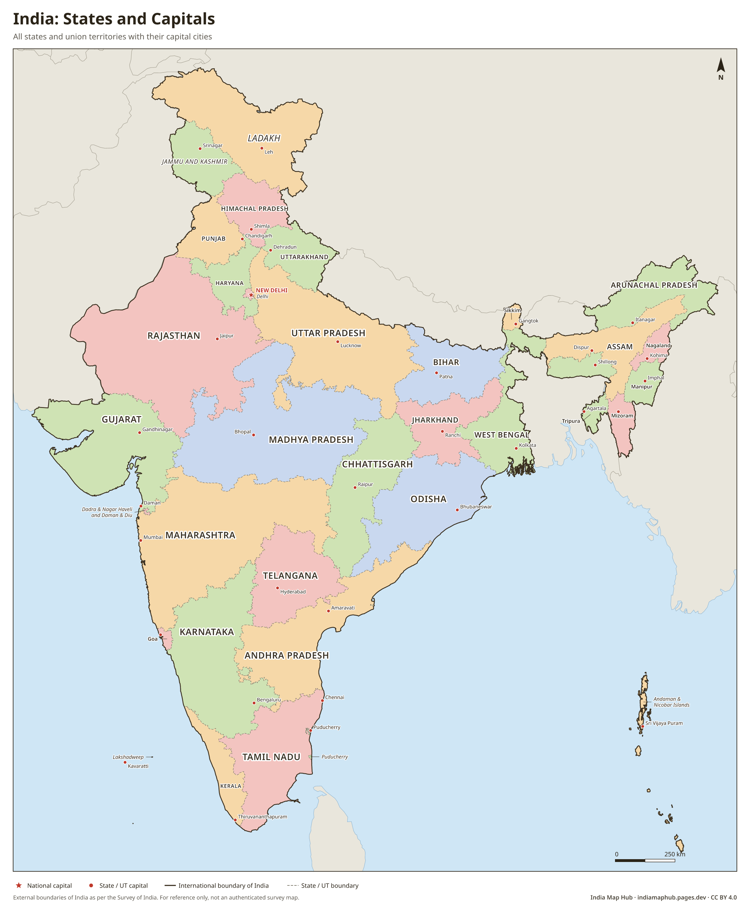
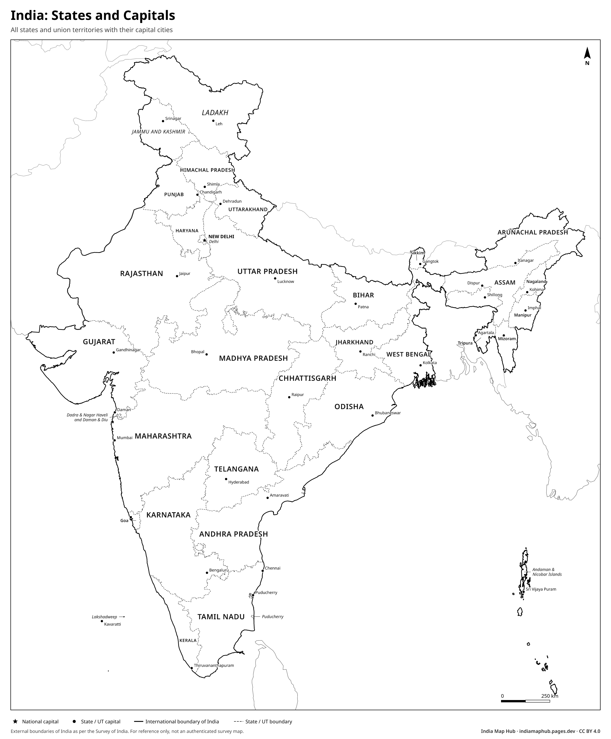
Map of India showing all 28 states, 8 union territories and their capitals, with a complete list. Free to download as PNG, PDF and SVG.
 Black & white
About this map
This map shows every state and union territory of India together with its capital, so you can learn and revise them in one place. The full list is below the map.
Some capitals are shared or seasonal. Chandigarh is the capital of both Punjab and Haryana, and is itself a union territory. Jammu and Kashmir has Srinagar as its summer capital and Jammu as its winter capital. Amaravati is the capital of Andhra Pradesh, and Hyderabad is the capital of Telangana.
States and capitals of India
| # | State / UT | Capital |
|---|---|---|
| 1 | Andhra Pradesh | Amaravati |
| 2 | Arunachal Pradesh | Itanagar |
| 3 | Assam | Dispur |
| 4 | Bihar | Patna |
| 5 | Chhattisgarh | Raipur |
| 6 | Goa | Panaji |
| 7 | Gujarat | Gandhinagar |
| 8 | Haryana | Chandigarh |
| 9 | Himachal Pradesh | Shimla |
| 10 | Jharkhand | Ranchi |
| 11 | Karnataka | Bengaluru |
| 12 | Kerala | Thiruvananthapuram |
| 13 | Madhya Pradesh | Bhopal |
| 14 | Maharashtra | Mumbai |
| 15 | Manipur | Imphal |
| 16 | Meghalaya | Shillong |
| 17 | Mizoram | Aizawl |
| 18 | Nagaland | Kohima |
| 19 | Odisha | Bhubaneswar |
| 20 | Punjab | Chandigarh |
| 21 | Rajasthan | Jaipur |
| 22 | Sikkim | Gangtok |
| 23 | Tamil Nadu | Chennai |
| 24 | Telangana | Hyderabad |
| 25 | Tripura | Agartala |
| 26 | Uttar Pradesh | Lucknow |
| 27 | Uttarakhand | Dehradun |
| 28 | West Bengal | Kolkata |
| 29 | Andaman and Nicobar Islands | Sri Vijaya Puram |
| 30 | Chandigarh | Chandigarh |
| 31 | Dadra and Nagar Haveli and Daman and Diu | Daman |
| 32 | Delhi | New Delhi |
| 33 | Jammu and Kashmir | Srinagar (summer), Jammu (winter) |
| 34 | Ladakh | Leh |
| 35 | Lakshadweep | Kavaratti |
| 36 | Puducherry | Puducherry |
How to use this map
- PNG: paste into Word, Google Docs, PowerPoint or Canva. Use the Print size for posters.
- PDF: print on A4 (or scale up to A3). It's a vector file, so it stays sharp.
- SVG: open in Illustrator, Inkscape, Figma or CorelDRAW to change colours, fonts or labels.
Boundaries on this map follow India's official boundary as published by the Survey of India. Read why this matters.
Credit line (copy & paste)
Required when you use this map. Keep it below the map, in your credits or in your references.
Embed on your website or blog
Frequently asked questions
Which city is the capital of two states?
Chandigarh is the capital of both Punjab and Haryana. It is also a union territory itself.
What is the capital of Andaman and Nicobar Islands?
Sri Vijaya Puram (formerly Port Blair). It was renamed in 2024.
What is the capital of Ladakh?
Leh is the capital of the union territory of Ladakh.