Outline Map of India
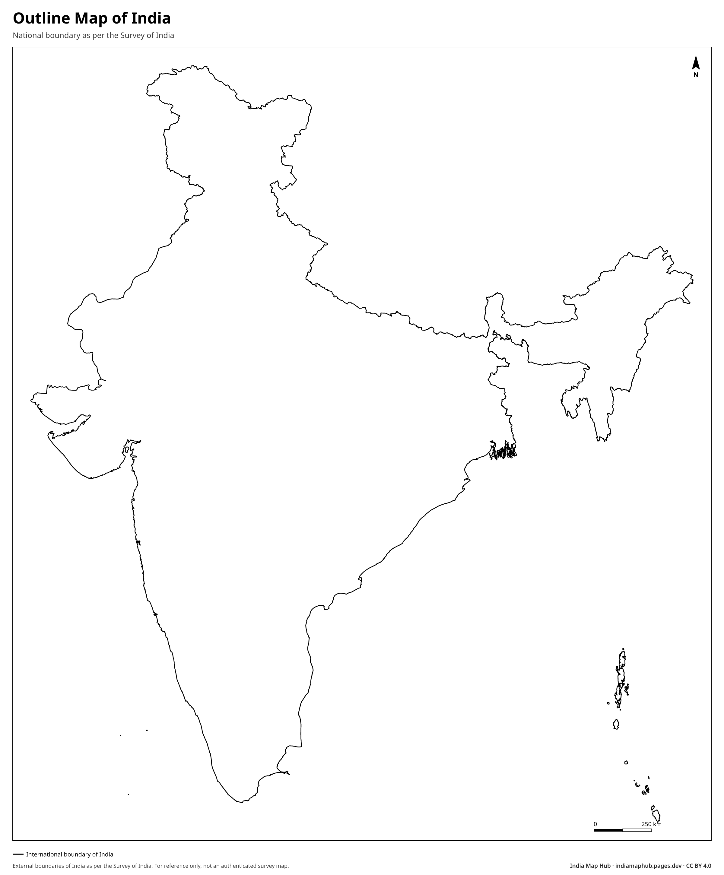
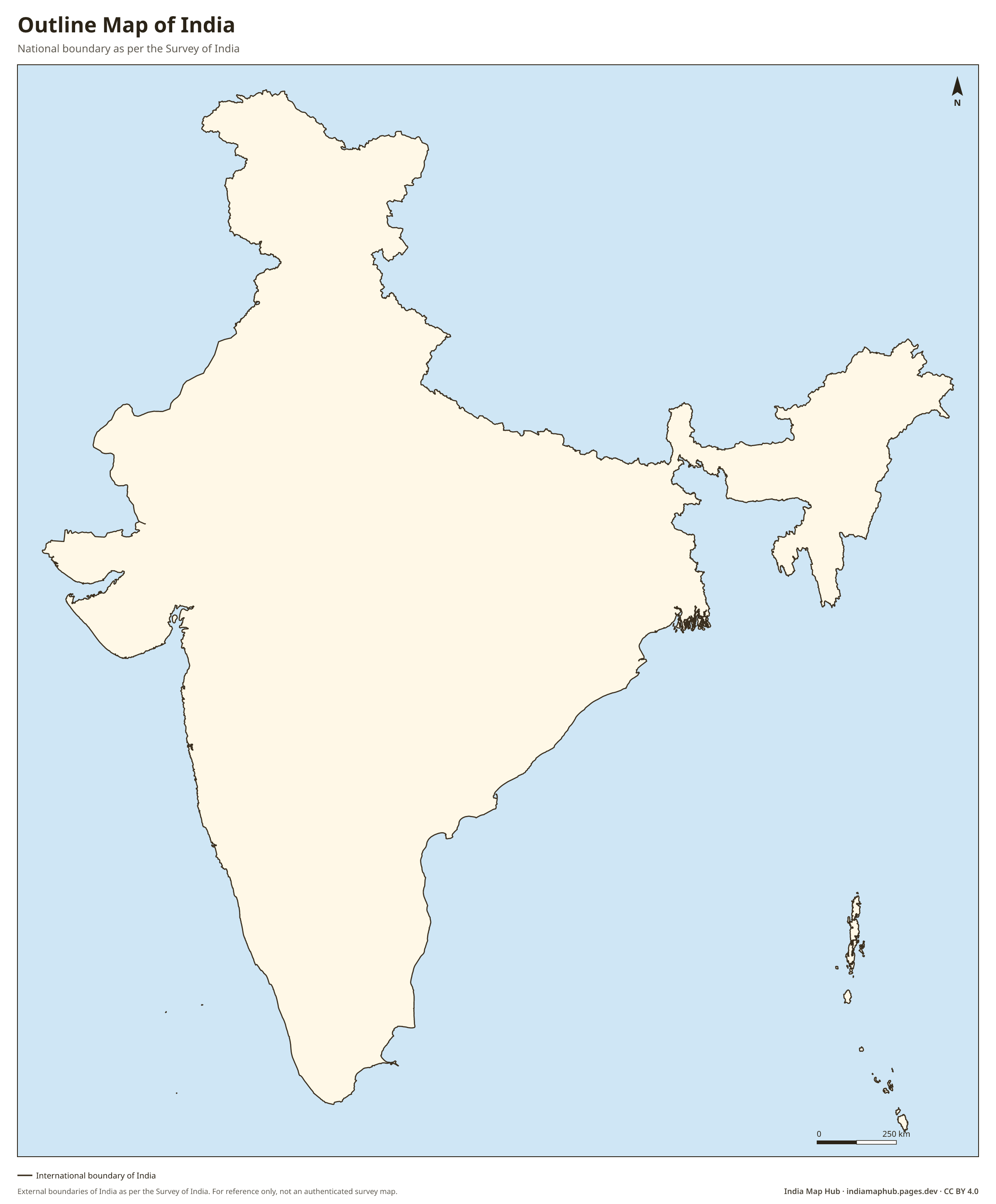
Clean outline map of India showing only the national boundary as per Survey of India, including J&K, Ladakh and Arunachal Pradesh. Free HD PNG, vector SVG and PDF.
 Colour
About this map
This is the outline map of India: a single clean boundary of the whole country with no internal lines. It is the most useful shape for logos, infographics, posters, presentation slides, T-shirt and print designs, and Independence Day or Republic Day artwork.
The outline follows India's official boundary as shown by the Survey of India. Many free "India vector" files on the internet cut off parts of Jammu & Kashmir, Ladakh or Arunachal Pradesh. Publishing those in India can cause legal and reputational problems, so use a correct outline for anything public.
Download the SVG to resize it to any size without losing quality, or to change its colour in any design tool.
How to use this map
- PNG: paste into Word, Google Docs, PowerPoint or Canva. Use the Print size for posters.
- PDF: print on A4 (or scale up to A3). It's a vector file, so it stays sharp.
- SVG: open in Illustrator, Inkscape, Figma or CorelDRAW to change colours, fonts or labels.
Boundaries on this map follow India's official boundary as published by the Survey of India. Read why this matters.
Credit line (copy & paste)
Required when you use this map. Keep it below the map, in your credits or in your references.
Embed on your website or blog
Frequently asked questions
Why do many online India outline maps look different?
Many international sources draw India's northern boundary along the Line of Control and Line of Actual Control instead of India's official boundary. Those maps leave out parts of Jammu & Kashmir and Ladakh (and sometimes parts of Arunachal Pradesh). This map uses the official boundary.
Can I use this outline in a company logo or product?
Yes, under the CC BY 4.0 licence. Credit this website in your project credits or documentation.