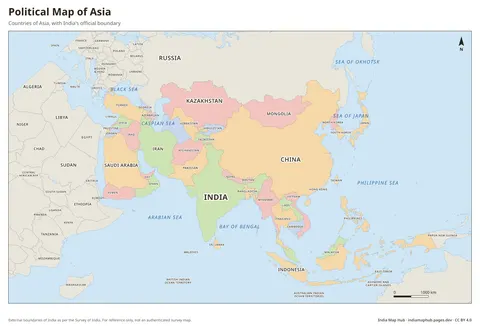
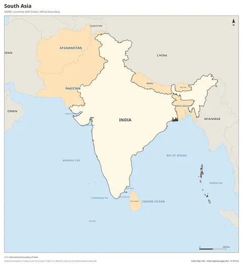
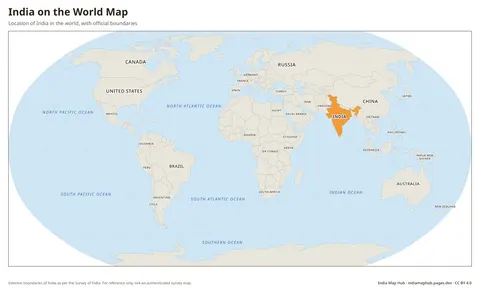
India in Asia Map
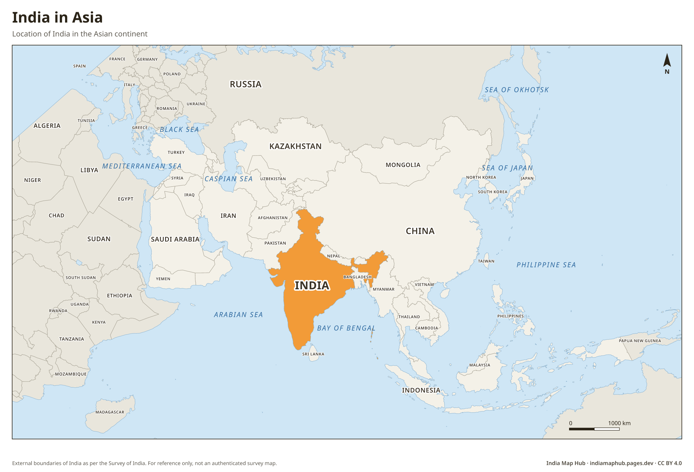
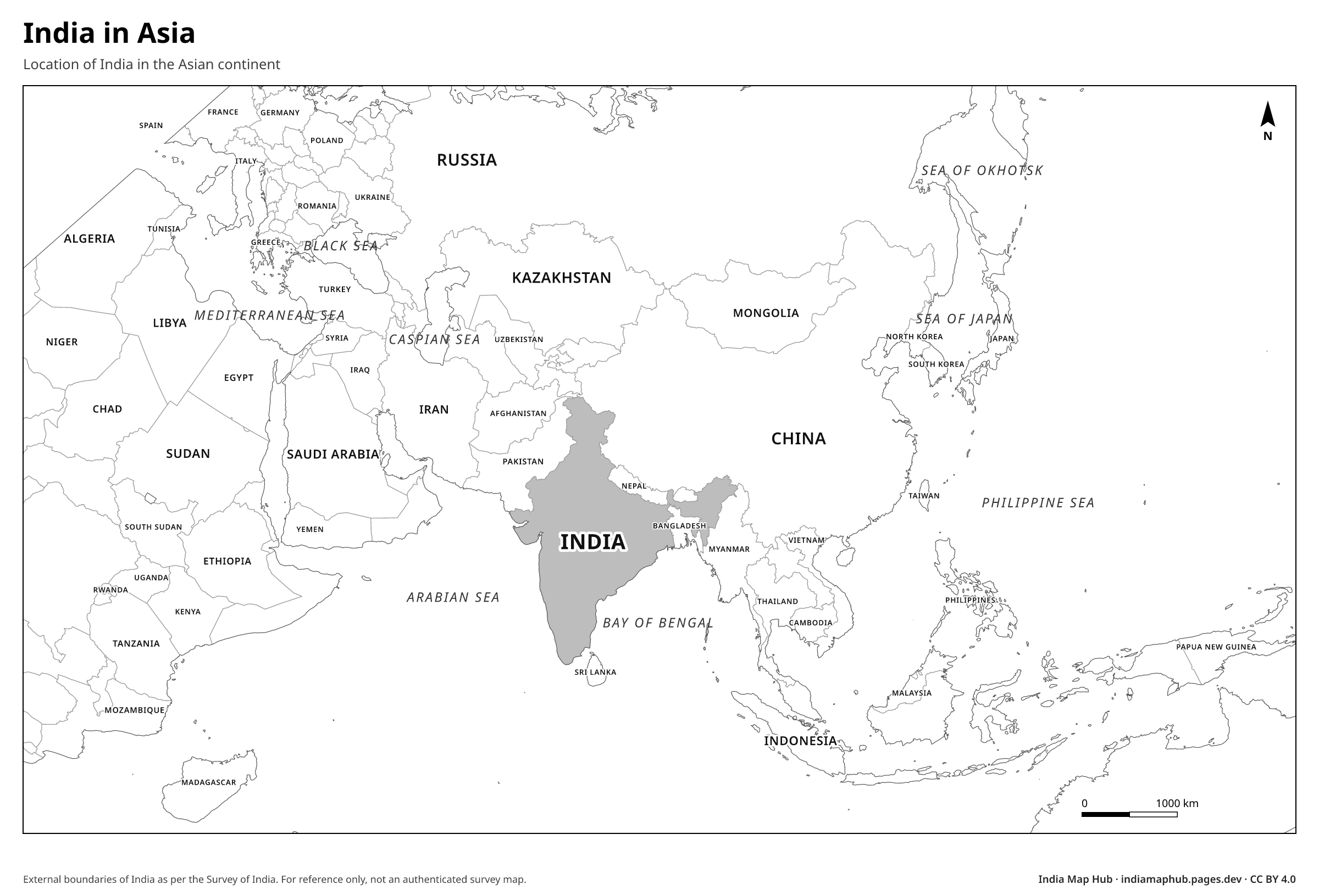
Map of Asia highlighting India with its correct official boundary. Shows India's position relative to China, Pakistan, the Middle East and Southeast Asia. Free download.
 Black & white
About this map
India occupies most of the Indian subcontinent in southern Asia. The Himalayas separate it from the Tibetan Plateau to the north, and the peninsula juts into the Indian Ocean between the Arabian Sea and the Bay of Bengal.
How to use this map
- PNG: paste into Word, Google Docs, PowerPoint or Canva. Use the Print size for posters.
- PDF: print on A4 (or scale up to A3). It's a vector file, so it stays sharp.
- SVG: open in Illustrator, Inkscape, Figma or CorelDRAW to change colours, fonts or labels.
Boundaries on this map follow India's official boundary as published by the Survey of India. Read why this matters.
Credit line (copy & paste)
Required when you use this map. Keep it below the map, in your credits or in your references.
Embed on your website or blog
Frequently asked questions
Is India the largest country in Asia?
No. By area, Russia (partly in Asia) and China are larger. India is the third-largest country located wholly or mainly in Asia.